|
|
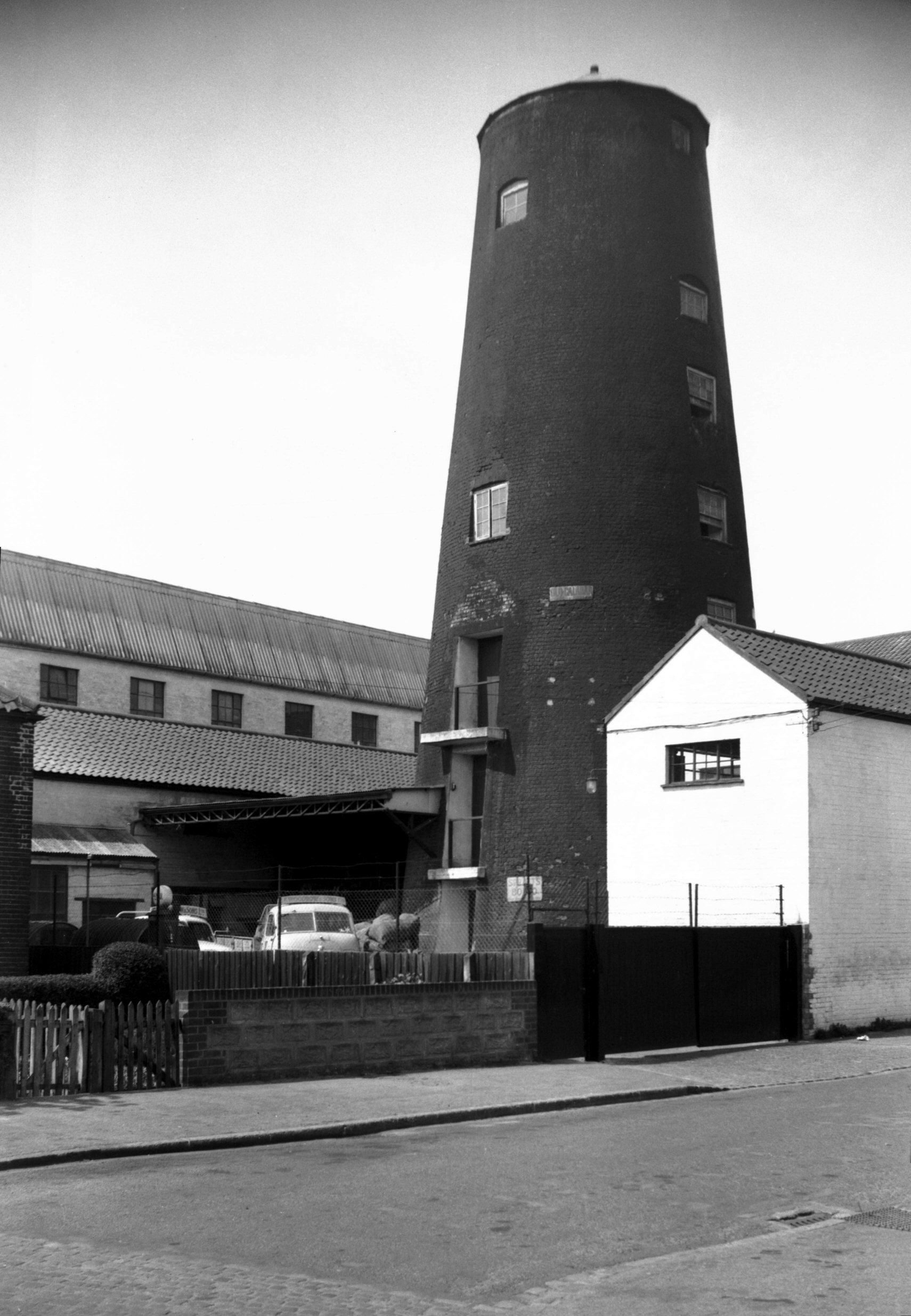
Eleanor Rd Lakenham Peafield Mill [4439] 1956-05-21
The tower mill was first introduced about 1500 and
rapidly became a familiar feature of the countryside.
This one at Lakenham, built in 1824, had a brick tower
which contained the machinery. Standing 80 feet high and
of eight storeys, its walls were 4 ft 6 ins thick at the
base. Above it was the cap, fly wheel and sails, the
latter nearly 100 feet in span. This superstructure
rotated on a steel track with steel runners to keep the
sails facing the wind. In about 1914-15 the sails came
off, after which electric power was installed, but the
tower continued to be used as a silo for grain. |
|
|
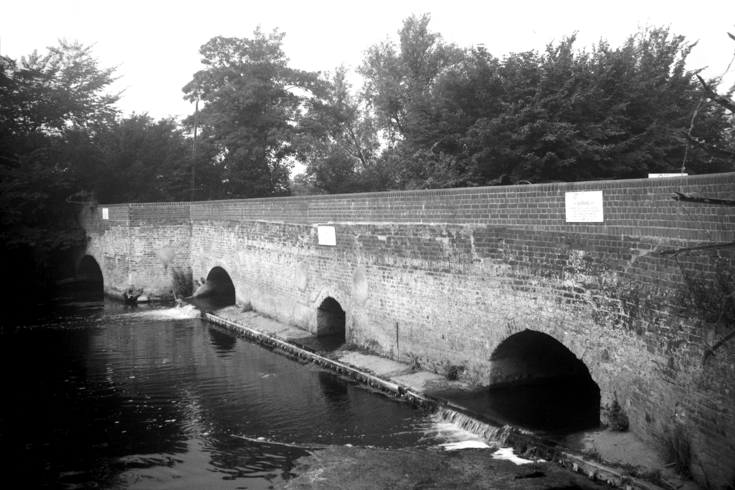
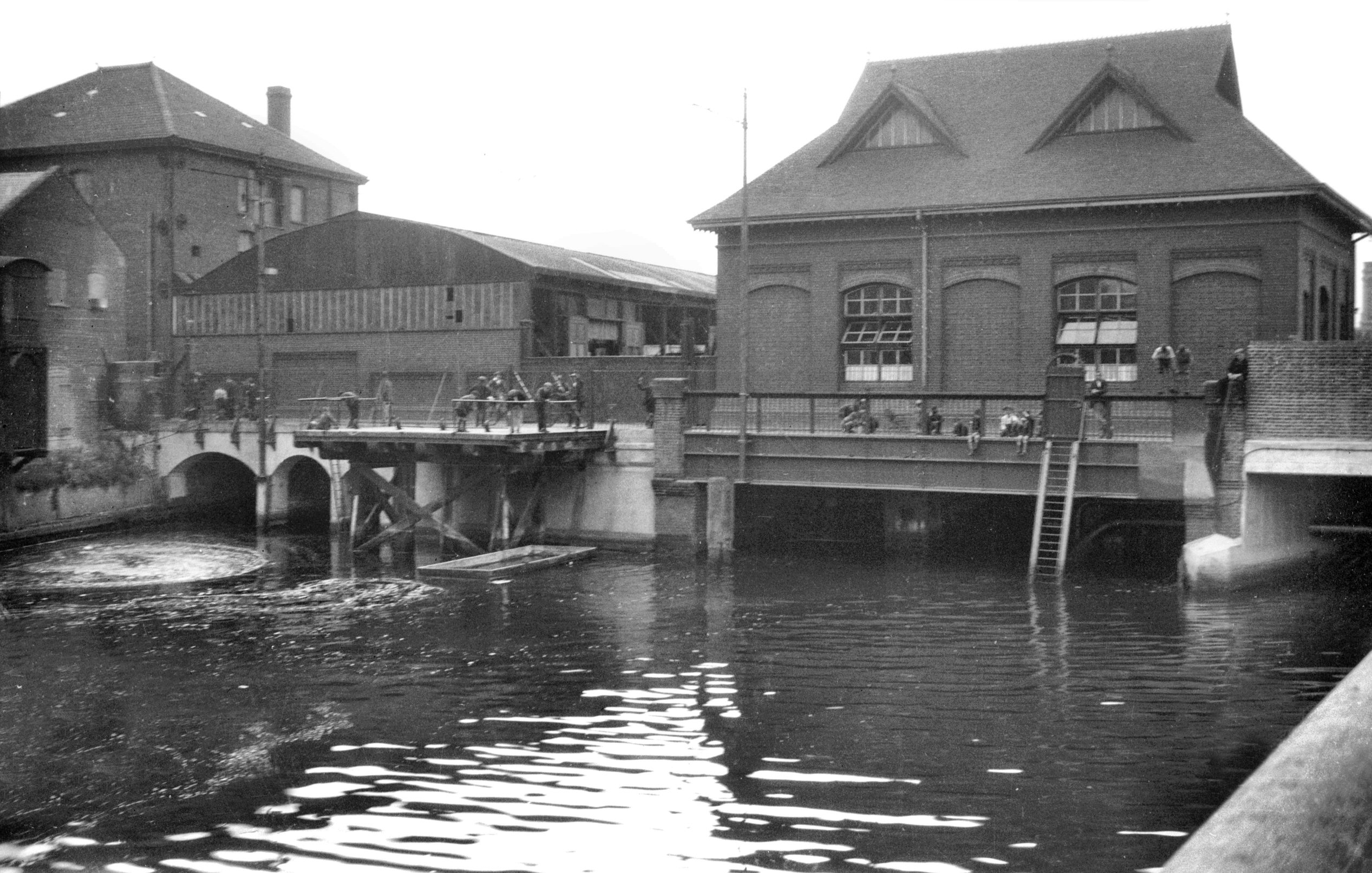
Hellesdon Mill Lane millrace [6731] 1991-08-25
The mill itself has long since gone but the sluice gates
remain and are used to control the flow of water between
here and the New Mills further downstream. In heavy rain
or during periods of thaw after snow, the gates may be
closed to prevent the danger of flooding in the city, or,
in dry weather, they may be opened more. |
|
|
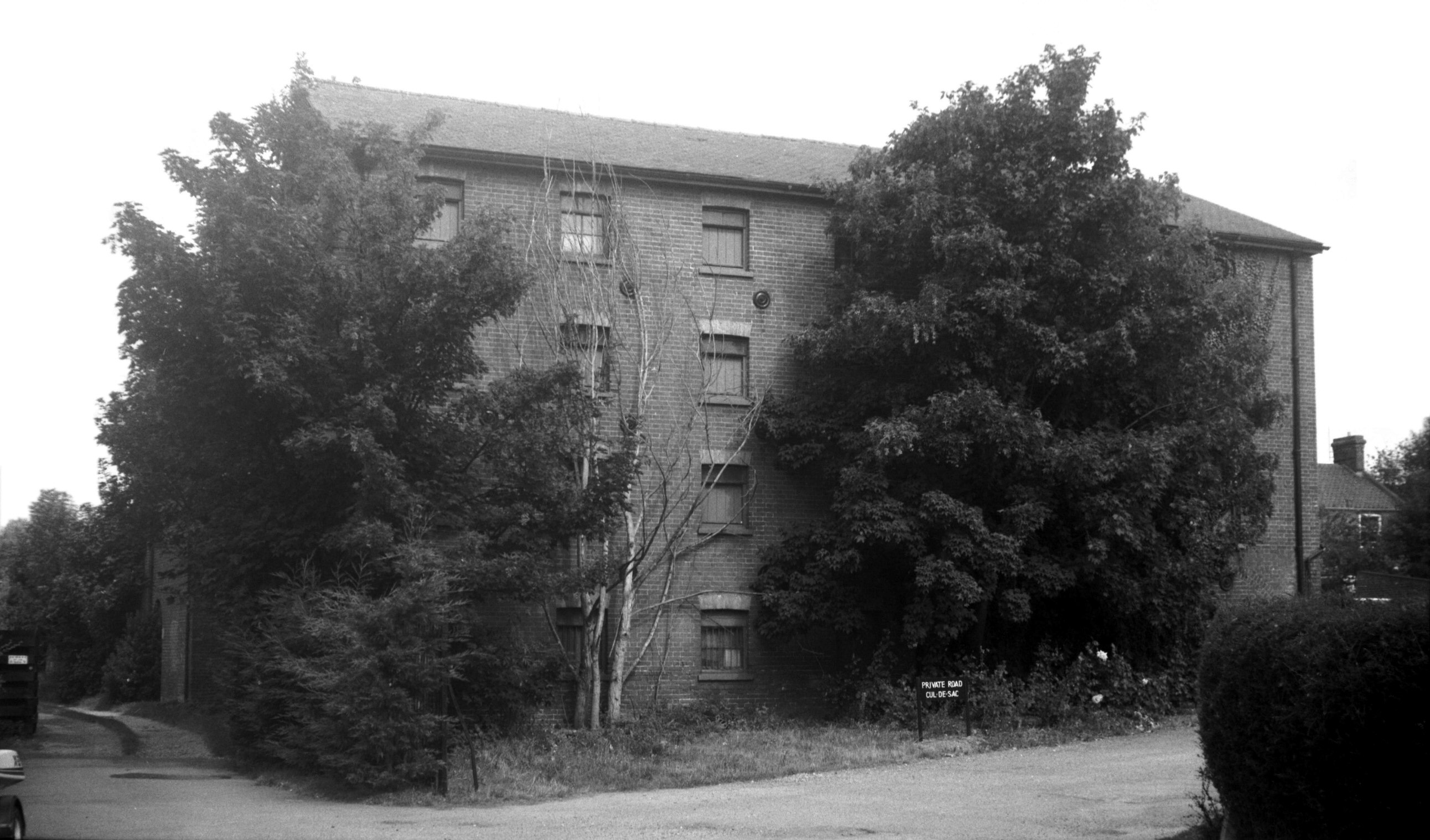
Hellesdon Mill Lane ancillary building [6732]
1991-08-25
|
|
|
Mansfield Lane Lakenham Water Mill [4362] 1955-08-20
Established 1834 for the spinning of mohair for
manufacturing purposes. |
|
|
Wensum New Mills Bridge south side [B632] 1933-07-18
Constructed 1896. |
|
|
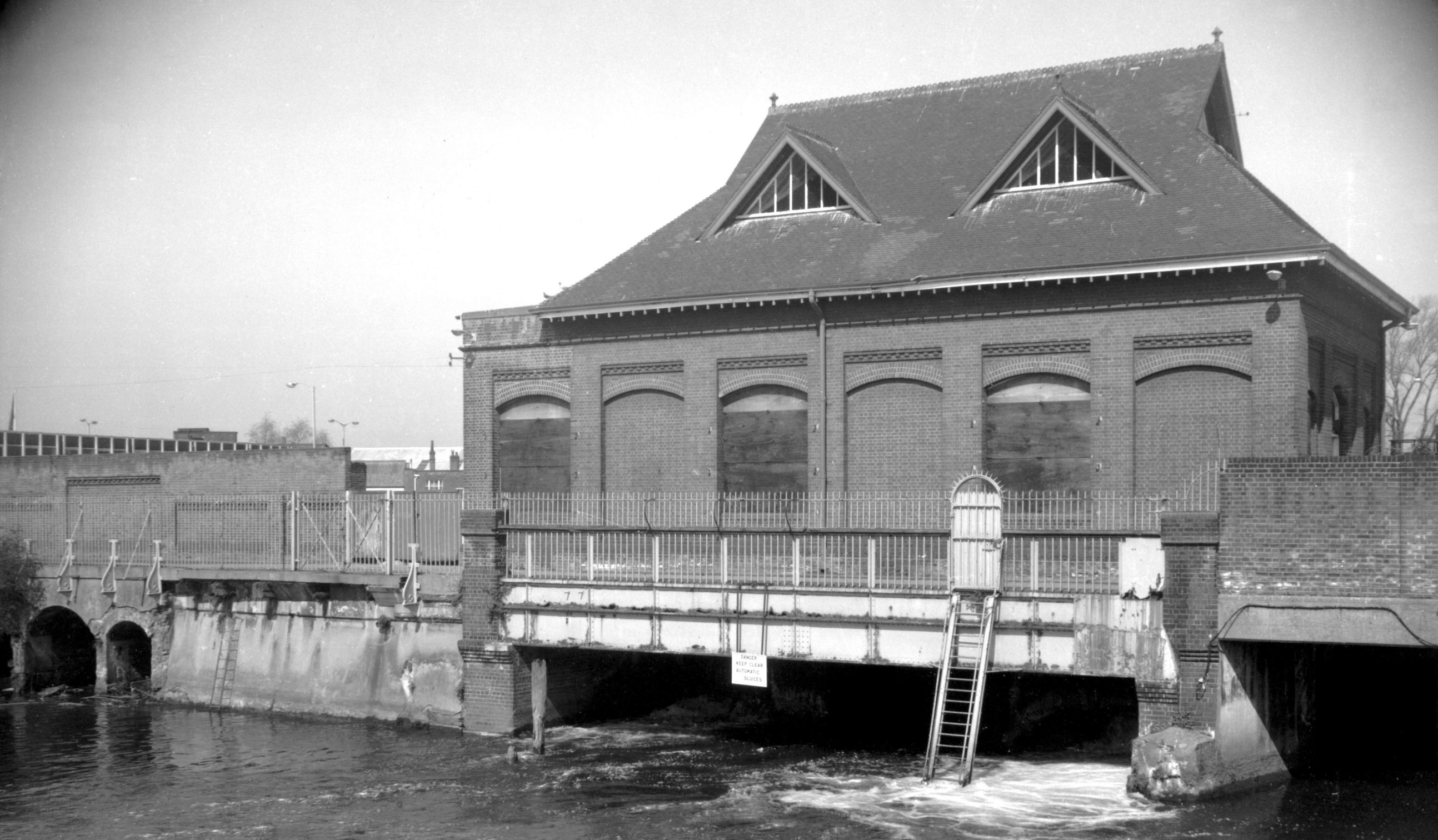
New Mills Yard New Mills [6294] 1984-04-24
Records of mills on this site go back at least to the
14c. Formerly known as Chese's, Bumpstede's and the
Appleyard's Mills, they became known as the
"New" Mills after being rebuilt in 1430. Corn
was ground here up to and during the 19c but in 1897
Norwich Corporation erected the present building as an
Air Compressor Station. Downstream from here the river
level is tidal; but the upstream level is maintained by
gates on the other side of the building. At low tide, a
sufficient head of water could drive turbines set in the
arches under the building. The turbines could then drive
the air compressors. At times when there was no head of
water, steam was generated in an adjacent building
(destroyed during the war) using the City's rubbish as
fuel, to drive a steam engine connected to the air
compressors.
The compressed air was piped underground around the City
and used for a variety of purposes such as driving lathes
and other machinery in the City Technical College (later
the Art School) and other Council workshops. However its
main use was to power eight 'Shones Ejector' underground
sewage pumps, located around the City. This unique system
was closed in 1972. |
|
|
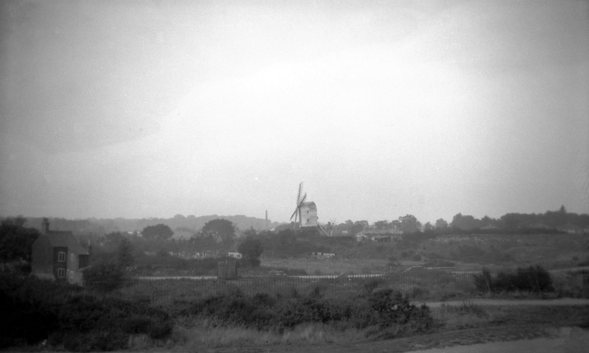
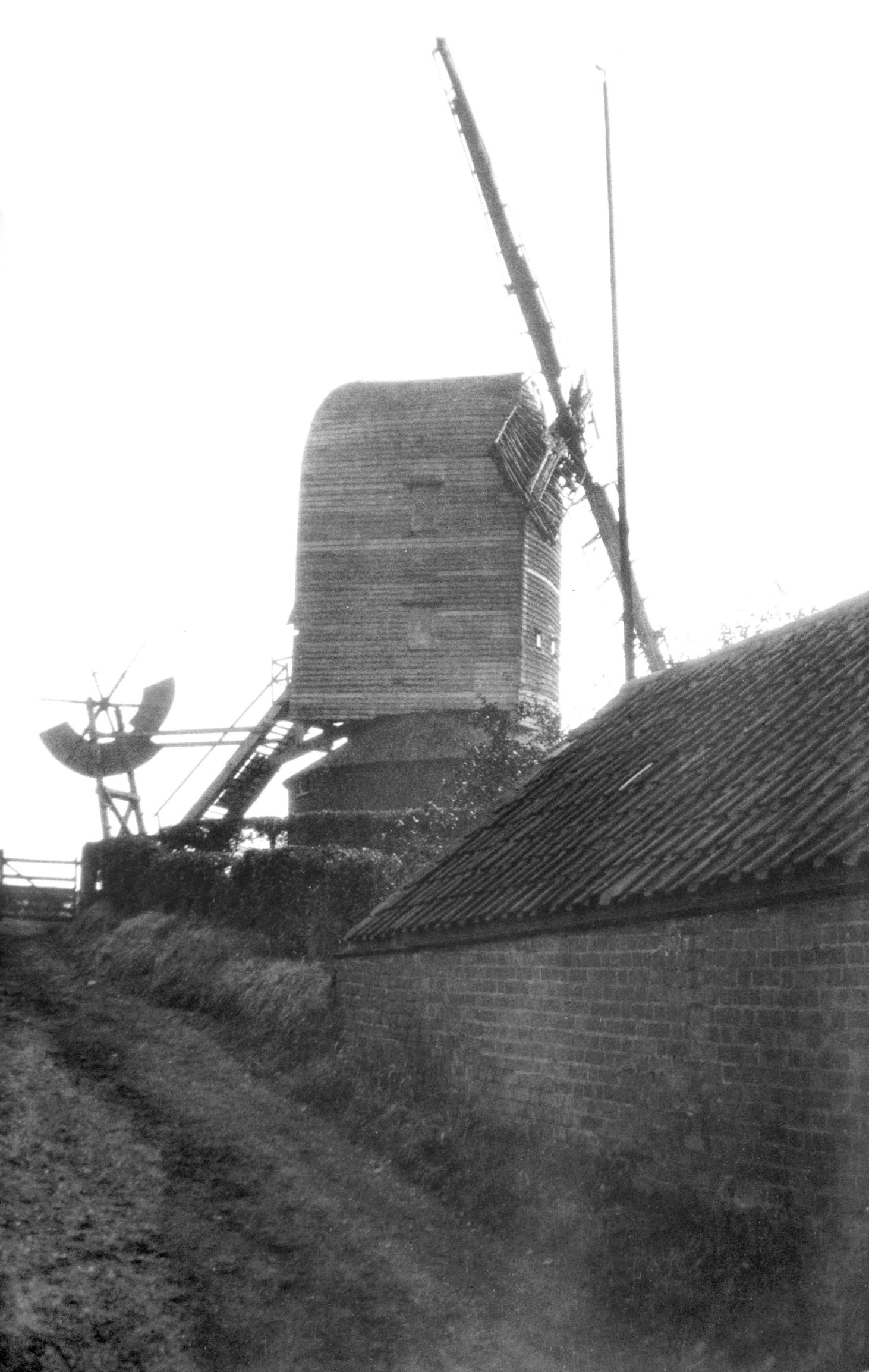
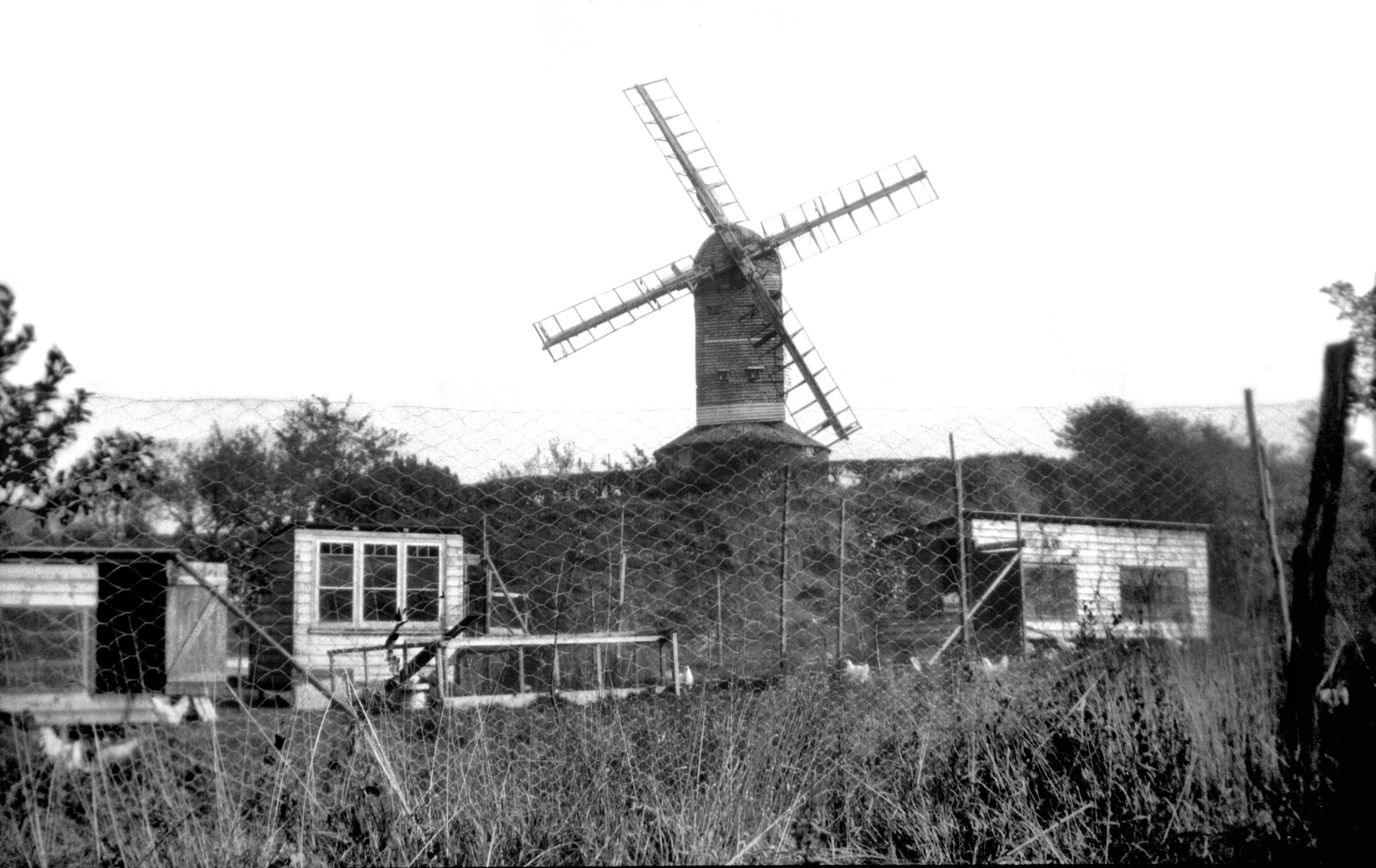
Sprowston Rd Post Mill from Mousehold [B175]
1931-00-00
Beyond Pockthorpe we come to Sprowston, where the name
Windmill Rd still indicates the site of Harrison's post
mill, an example of the earliest kind of windmill known
in England; there is an illustration of one on the
memorial brass to Adam de Walsokne, who died in 1349, and
his wife Margaret in St Margaret's Church, King's Lynn.
In this type the box-like body revolves around the centre
post so that the sails always face the wind. The
supporting structure was often enclosed by a brick
roundhouse for storing the grain, as it was here.
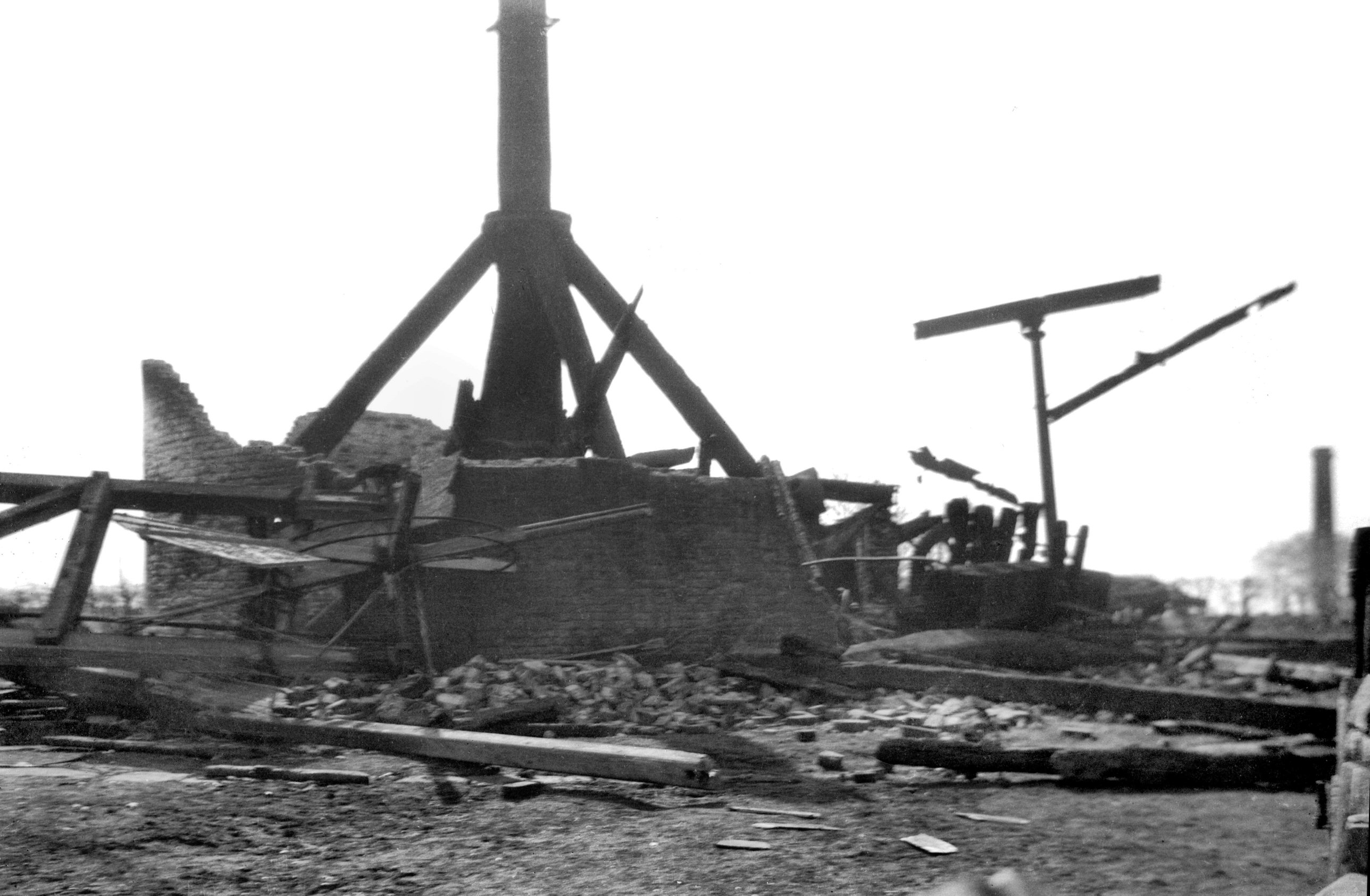
Sprowston mill was built about 1730. It was destroyed by
fire on 23rd March 1933, the day before it was due to be
handed over to the Norfolk Archaeological Trust. A
working model of it, made by Mr H.O.Clarke of Norwich,
used to be on display at the Science Museum, South
Kensington.
For many years this mill at Sprowston had been known as
Crome's mill, from a painting by that artist entitled
"A Windmill on Mousehold Heath near Norwich".
In a paper in Norfolk Archaeology in 1966 this
identification was disputed by Dr M.Rajnai, who listed
various titles over which Crome's painting had appeared
since 1844; he particularly referred to an old label on
the back of the frame, to which attention had recently
been drawn, which said "Trowse Mill/near Norwich
by/Old Crome". Dr Rajnai also compared the painting
with a pencil drawing of apparently the same subject by
George Vincent, in which the hill crowned by a post mill,
the winding path, the sandpit and signpost are all found
in the same relationships to each other as in Crome's
painting. He concluded that the similarities were so
striking that there could be no reasonable doubt that the
scene was identical in both works. To clinch the matter,
although the signpost in Crome's painting appeared to
bear no inscription, Vincent's drawing shows it marked
"To Crown Point". Reference to Faden's
Topographical Map of Norfolk dated 1797 confirmed that
there was indeed a windmill close to Crown Point at
Trowse at that time.
That there should have been some confusion over the true
location of Crome's mill is perhaps not to be wondered
at, for old maps and "prospects" show the city
to have been dotted around by both tower and post mills.
These included at least two wood sawmills worked by wind,
of which one stood near another mill at the top of Gas
Hill. While only one is shown in this position on
Corbridge's Map of Norfolk, published in 1750, two are
shown on Faden's map in 1797, and both survived to be
marked on the Ordnance Survey's large-scale town plans
surveyed in the 1880s. |
|
|
Sprowston Rd Post Mill from Windmill Rd [B193]
1931-00-00
|
|
|
Sprowston Rd Post Mill from allotments [B194]
1931-00-00
|
|
|
Sprowston Rd Post Mill burnt central post [B506]
1933-03-26
|
|
|
Sprowston Rd Post Mill after fire [B507] 1933-03-26
|
|
|
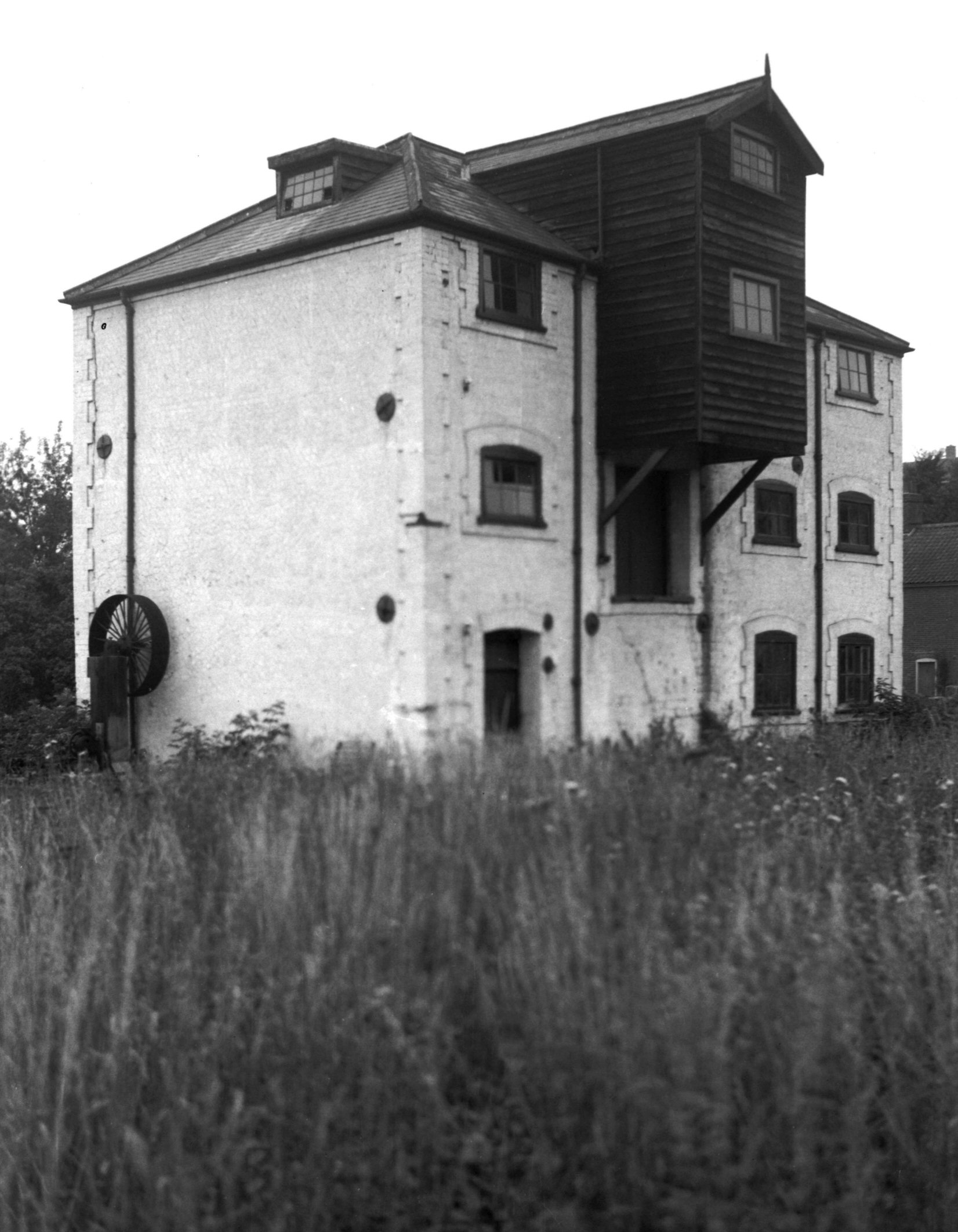
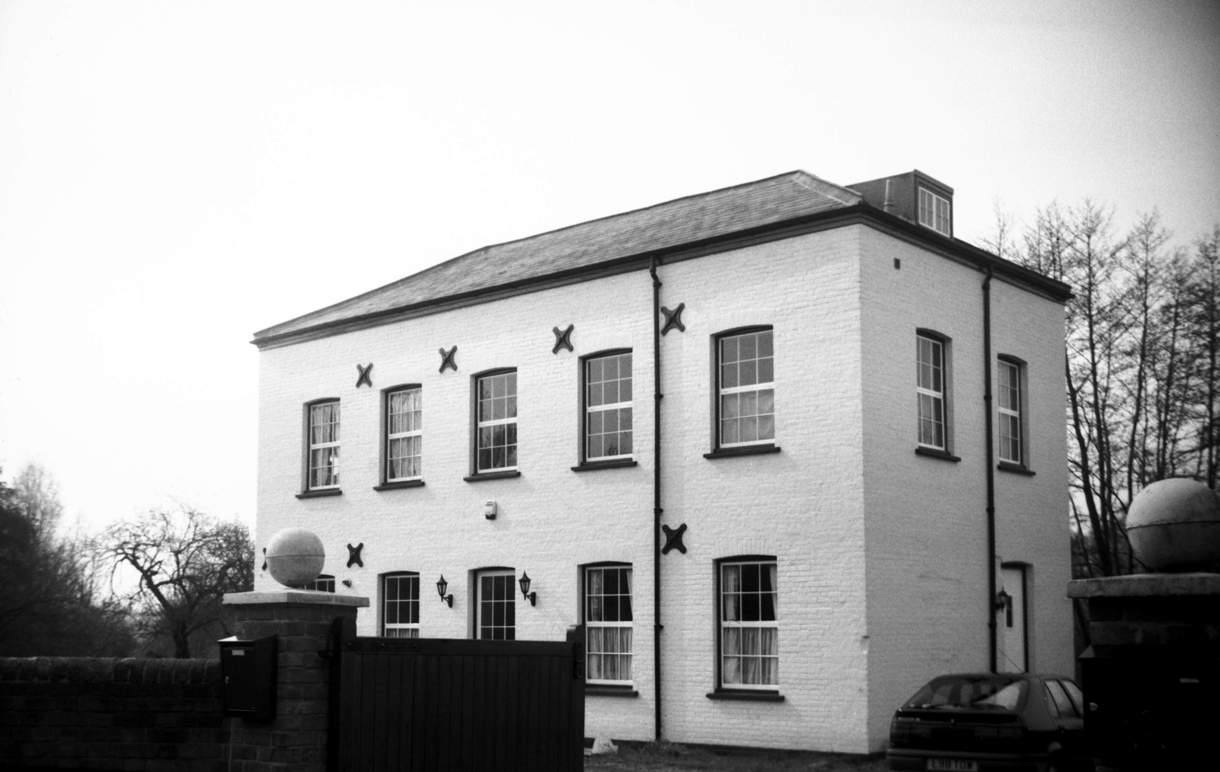
Stoke Rd Old Lakenham Old Mill House [7817]
2001-04-27
Ancillary building. |